VES/Screenshots: Difference between revisions
From KitwarePublic
< VES
Jump to navigationJump to search
(Created page with "Screenshots") |
No edit summary |
||
| Line 1: | Line 1: | ||
Screenshots | ==Introduction== | ||
The following screenshots depict visualizations produced using the VES rendering library. The visualizations run on Android and iOS devices, but the screenshots were captured using the iPhone/iPad simulator. | |||
==Screenshots== | |||
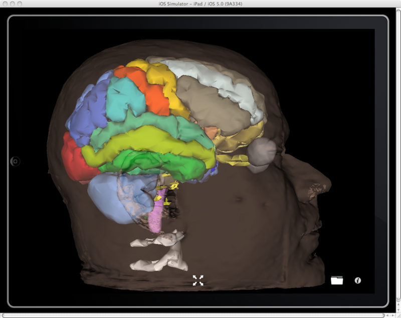
[[Image: KiwiViewer_BrainAtlas.png|thumb|center|800px|The SPL-PNL brain atlas rendered in KiwiViewer]] | |||
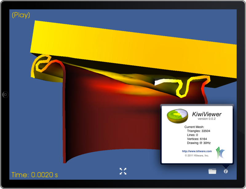
[[Image: VES_can_with_info.png|thumb|center|800px|KiwiViewer running in the iPad simulator showing one frame of a simulation. The simulation shows a block falling and crushing a can. ]] | |||
[[Image: Head.png|thumb|center|800px|A CT image of a head. The image is displayed using three orthogonal planes. An isosurface of the skull bone is rendered with the image planes. ]] | |||
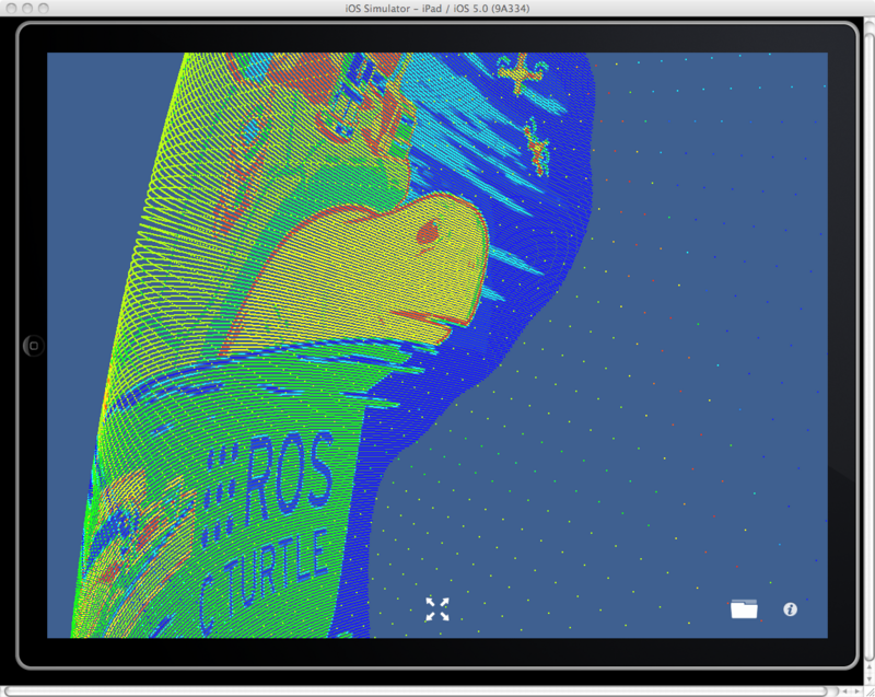
[[Image: KiwiViewer_Points.png|thumb|center|800px|The Robot Operating System C Turtle logo rendered using a point cloud ]] | |||
[[Image: KiwiViewer_MountStHelens.png|thumb|center|800px|Mount St. Helens visualization, terrain colored by elevation. ]] | |||
[[Image: Ircad_artery.PNG|thumb|center|800px|An artery segmented from CT data from the the IRCAD 3D-IRCADb database ]] | |||
[[Image: KiwiViewer_Knee.png|thumb|center|800px|NAMIC knee atlas rendered in KiwiViewer ]] | |||
Revision as of 07:08, 19 January 2012
Introduction
The following screenshots depict visualizations produced using the VES rendering library. The visualizations run on Android and iOS devices, but the screenshots were captured using the iPhone/iPad simulator.
Screenshots


